3 Best Hiking Trails in Walnut Creek, CA

Expert-recommended Top 3 Hiking Trails in Walnut Creek, California. All of our hiking trails actually face a rigorous 50-Point Inspection, which includes customer reviews, history, complaints, ratings, satisfaction, trust, cost and general excellence. You deserve only the best!

9+ YEARS IN TBR
CALL

SHELL RIDGE OPEN SPACE

1035 Castle Rock Road,
Walnut Creek, CA 94598 Directions

Since 1969

Specialty:

Hiking Views Equestrian Trails Dogs on Leash Wild Flowers Nature Trips Mountain Biking Birding Wildlife Running Road Biking Walking

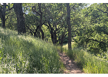
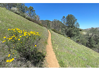
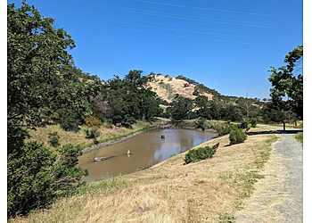
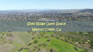
Shell Ridge Open Space ensures a total land area of 1,420 acres with various picturesque spots. The total length of the trail is 31 miles, which is generally considered an easy to moderately challenging route. The trails cover a range of elevations, from 56 to 472 meters. The trail features multiple trailheads and parking lots. Shell Ridge is in the middle of Walnut Creek, beginning near downtown and stretching to Mount Diablo. The trail is the city's greatest open space, consisting of parallel slopes and valleys. The trailhead is excellent for hiking, biking, and horseback riding options abounding along ridge tops, creekways, and hillsides. Visitors can also enjoy various activities such as a wheelchair-accessible parking lot, picnic tables, public restrooms, and kid-friendly hikes.

Reviews | Play Video | Write a Review

Contact:

TBR® Inspection Report:

9+ YEARS IN TBR
CALL

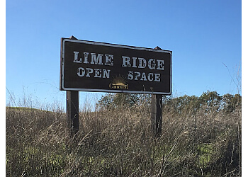
LIME RIDGE OPEN SPACE

Ygnacio Valley Road,
Walnut Creek, CA 94598 Directions

Specialty:

Hiking Camping Restroom Facilities Wildlife Accessible Biking Birding Picnic Bicycling Playground

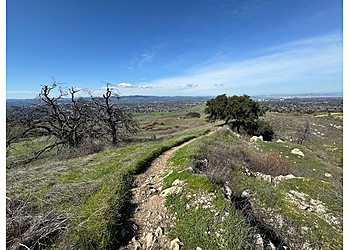
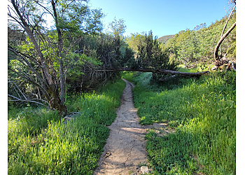
Lime Ridge Open Space is ideal for enjoying a diverse range of recreational activities, such as hiking and biking, and wildlife viewing opportunities abound across the many plant communities and quarries. The total land area of the trail is 1,226 acres. The total length of the trail is 25 miles, which is generally considered an easy trail route. The Ridge is a dominating hill on the eastern end of Walnut Creek that leads to Mount Diablo. The trailhead is a haven for some of Walnut Creek's last remnant chaparral and various plant and animal life. Lime Ridge was named after the limestone extracted in the region by the Cowell Portland Cement Company. Lime Ridge Open Space offers various amenities such as a wheelchair-accessible parking lot and kid-friendly hikes for more comfort.

Reviews | Play Video | Write a Review

Contact:

TBR® Inspection Report:

CALL EMAIL

MOUNT DIABLO STATE PARK

Summit Road,
Walnut Creek, CA 94598 Directions

Since 1921

Specialty:

Hiking Nature Trails Waterfalls Mountain Biking Wild Flowers

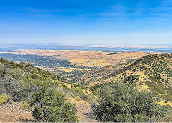
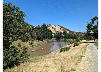
Mount Diablo State Park is an ideal destination to have a pleasant and relaxed time and to enjoy the beauty of nature. This is a 26.0-mile loop trail with an elevation gain of 6678 feet. This is a loop-type trail which is generally considered a highly challenging route. The trail takes approximately 14 hours and 35 minutes to complete. This nature area also features a visitor center & observation deck, plus trails, campsites, and picnic areas. This is a popular trail for hiking and running and for various outdoor recreational activities. Mount Diablo State Park is open year-round and is enjoyable to visit anytime. The trail also features a wheelchair accessible parking lot, picnic areas, barbecue grills, public restrooms, and kid-friendly hikes for the convenience of the visitors.

Reviews | Play Video | Write a Review

Contact:

(925) 837-2525

Call For Hours

TBR® Inspection Report: