3 Best Hiking Trails in Lancaster, CA

Expert-recommended Top 3 Hiking Trails in Lancaster, California. All of our hiking trails actually face a rigorous 50-Point Inspection, which includes customer reviews, history, complaints, ratings, satisfaction, trust, cost and general excellence. You deserve only the best!

10+ YEARS IN TBR
CALL EMAIL

ANTELOPE VALLEY CALIFORNIA POPPY RESERVE

15101 Lancaster Road,
Lancaster, CA 93536 Directions

Since 1976

Specialty:

Hiking Walking Wildlife Exhibits Environment Learning and Visitor Center Trail Running Beach Road and Mountain Biking Museums Dogs on Leash Nature Trips Historical Site Wild Flowers Forest Lake Birding Picnic Areas

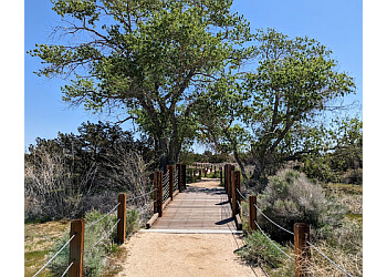
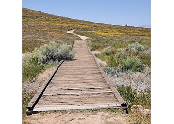
Antelope Valley California Poppy Reserve provides a unique hiking experience for its visitors. The elevation gain of the trail is 446 feet to 593 feet. The wildflower season lasts from mid-February through May, with numerous wildflowers forming a color mosaic that varies daily. This trail is perfect for exploring the California Poppy Reserve and experiencing the orange beauty. Antelope Valley California Poppy Reserve also ensures eight miles of desert grassland walking trails, convenient picnic tables, and a serene, spectacular view of the San Gabriel Mountains. The trail features a wheelchair-accessible parking lot, public restrooms, and kid-friendly hikes for more comfort.

Reviews | Play Video | Write a Review

Price:

Per Vehicle $10
With A Senior on Board (62 and Over) $9
Per Vehicle with Dpr Disabled $5
Small Busses (9-24 Passengers) $50
Large Busses (25 or More Passengers) $100

Contact:

(661) 724-1180 (661) 946-6092

Mon-Sun: 7am - 7pm

TBR® Inspection Report:

10+ YEARS IN TBR
CALL EMAIL

PRIME DESERT WOODLAND PRESERVE

43201 35th Street West,
Lancaster, CA 93536 Directions

Since 1985

Specialty:

Hiking Camping Handicap Accessible Bicycling Birding Playground Nature and Horse/Equestrian Trail Restroom Facilities Snorkeling Fishing Picnic Swimming Wildlife Areas Trail Running

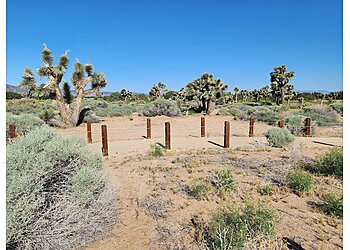
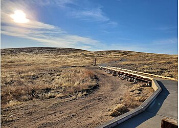
Prime Desert Woodland Preserve is 3 miles of extensive, scenic trails that cover an area of 120 acres of total land. This is a 2.1 km loop trail with an elevation gain of 5 meters. This is generally considered an easy route, and it takes an average of 23 minutes to complete the total trail. This scenic location within an urban area has allowed visitors to learn about animals and plants. This is a great place to enjoy a pleasant walk right before sunset among desert plants that help hide cottontails, jackrabbits, and squirrels. Their exhibition includes the important areas historically covered by the center, such as fauna, flora, geology, and the indigenous people.

Reviews | Play Video | Write a Review

Contact:

(661) 723-5928 (661) 723-6000

Mon-Sun: 6am - 10pm

TBR® Inspection Report:

CALL

DEVIL'S PUNCHBOWL NATURAL AREA

28000 Devils Punchbowl Road, Pearblossom,
Lancaster, CA 93553 Directions

Specialty:

Hiking Walking Trails Breathtaking Views Educational Center

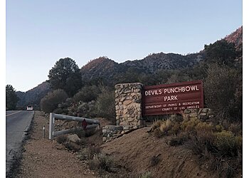
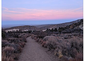
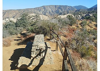
Devil's Punchbowl Natural Area is an ideal destination to have a pleasant and relaxed time with friends and family. This trail is located 36 minutes distance from Lancaster. This is a 4.8-km out-and-back trail, with an elevation gain of 674 metres. This is generally considered a challenging route, and it takes an average of 4 hours and 58 minutes to complete. This is a perfect spot to experience a wide range of recreational opportunities such as backpacking, camping, and hiking. Devil's Punchbowl Natural Area also includes numerous picnic tables, public restrooms, kid-friendly hikes, and a wheelchair-accessible parking lot for the convenience of the visitors. Pets are welcome on the trail on a leash.

Reviews | Play Video | Write a Review

Contact:

TBR® Inspection Report: