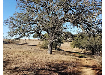
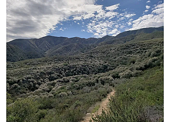
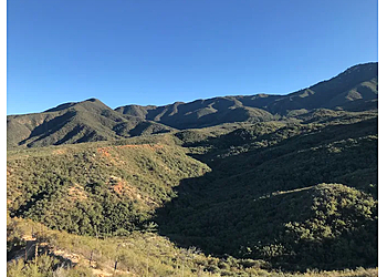
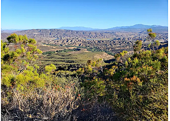
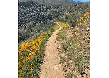
3 Best Hiking Trails in Temecula, CA

Expert-recommended Top 3 Hiking Trails in Temecula. All selected hiking trails undergo our rigorous 50-Point Inspection, assessing reviews, reputation, history, price, proximity, and more to ensure excellence. No Pay-to-Play!

Dripping Springs Trailhead Temecula Hiking Trails image 1
Best Hiking Trails in Temecula CA - Dripping Springs Trailhead image 2
Top Hiking Trails in Temecula CA - Dripping Springs Trailhead image 3
CALL

DRIPPING SPRINGS TRAILHEAD

Forest Route 8S07, Dripping Springs CG,
Temecula, CA 92592 Directions
Hiking Trail Climbing Bird Watching Running Backpacking Camping Horseback Riding & Dogs on Leash

Dripping Springs Trailhead is a trendy area for backpacking, birding, and camping, so you'll likely encounter other people while exploring. These trails typically offer little shade, and they begin climbing out of the campground on a well-graded incline. The dripping Springs Trailhead next mile contains some climbing that leads to a set of switchbacks. This trail is moderated, challenging with four connecting options, including Dripping Springs, Wildhorse, Palomar Magee, and Cutca, with great views of the "Big Four" peaks to the north. The next mile has some clambering leading to a group of switchbacks. The trail then makes an easy southward traverse to the basin before resuming a clamber to the southwest. A ridge ascent leads to another traverse and the crossing of the only potential water along the trail. The trail is always open year-round and is beautiful to look at any time.

Reviews   |   Write a Review

Contact:

TBR® Inspection Report:

CALL EMAIL

SANTA ROSA PLATEAU ECOLOGICAL RESERVE

39400 Clinton Keith Road, Murrieta,
Temecula, CA 92562 Directions
Equestrian Hiking Picnic Areas Seasonal Vernal Pools Biking and Walking Trails Historic Adobe Buildings & Interpretive Programs

Santa Rosa Plateau Ecological Reserve is a relatively peaceful place of oak woodland, chaparral, and native grassland habitat. The Santa Rosa Plateau has an average upgrading of 2,000 feet. The plateau’s moderate climate made the place an ideal habitat for people, beginning thousands of years ago with the arrival of Native Americans. Preservation of the plateau could provide a corridor for deer and mountain lion movements. Creeks draining the plateau also contain deep holes, which hold water throughout the summer months and provide an important water source for wildlife.

Reviews | Play Video | Write a Review

Contact:

  • programs@santarosaplateau.org
(951) 677-6951 (800) 234-7275

Mon-Sun: 7am - 4:30pm

TBR® Inspection Report:

Temecula Creek Trail Park Temecula Hiking Trails image 1
Best Hiking Trails in Temecula CA - Temecula Creek Trail Park image 2
Top Hiking Trails in Temecula CA - Temecula Creek Trail Park image 3
CALL

TEMECULA CREEK TRAIL PARK

33662 Channel Street,
Temecula, CA 92592 Directions
Walking Trails Jogging Playground Paths Grassy Areas BBQ Children's Play Area Mountain Outdoor Park Peaks River Trees Flowers & Picnic Tables

Temecula Creek Trail Park is a 1.1-mile out-and-back trail that ensures ample green space next to the playground with beautiful large trees. Generally considered an easy route, it takes approximately 21 minutes to complete the trail. This trail is excellent for birding, hiking, and running, and you'll unlikely encounter many other people while exploring. This is an ideal family park that offers amenities perfect for picnicking. To both children and adults, this park provides appealing qualities. Visitors can visit many trails around the park to enjoy hiking and long walks with their loved ones. Inside the park, there is a Children's Play Area where the little ones get to play around without any interruption. Many picnic tables are attached, along with BBQ facilities where visitors can enjoy the joy of cooking and togetherness.

Reviews   |   Write a Review

Contact:

TBR® Inspection Report: