3 Best Hiking Trails in Berkeley, CA

Expert-recommended Top 3 Hiking Trails in Berkeley. All selected hiking trails undergo our rigorous 50-Point Inspection, assessing reviews, reputation, history, price, proximity, and more to ensure excellence. No Pay-to-Play!

CALL

CESAR CHAVEZ PARK

11 Spinnaker Way,
Berkeley, CA 94710 Directions

Since 1997

Picnic Areas Wildlife Sanctuary Sports Fields Paved Pathways Wide-Open Meadowlands for Frisbee and Kite Flying Hiking & Biking

Cesar Chavez Park is a popular destination that features hiking trails including the 1.25-mile Dorothy Stegmann trail. In 1997, the town renamed the park César E. Chávez, a union leader and founder of the United Farm Workers of America. The park also has a particular Task Force-recommended 17-acre off-leash dog area. This park has 90 rolling acres and 1.5 paved trails. The park even has a wildlife sanctuary at the undeveloped northern end. It is a wide-open meadowland for Frisbee and kite flying. Paved paths around the perimeter and part of the interior are wheelchair accessible. Picnic areas are available on a first-come basis.

Reviews | Play Video | Write a Review

Contact:

TBR® Inspection Report:

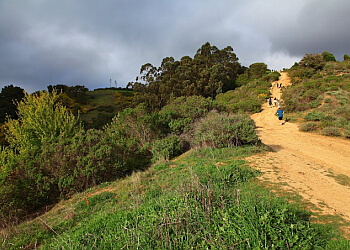
Stonewall-Panoramic Trail Berkeley Hiking Trails image 1
Best Hiking Trails in Berkeley CA - Stonewall-Panoramic Trail image 2
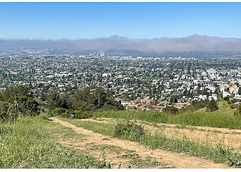
Top Hiking Trails in Berkeley CA - Stonewall-Panoramic Trail image 3
CALL

STONEWALL-PANORAMIC TRAIL

99 Stonewall Road,
Berkeley, CA 94705 Directions
Bird Watching Wild Flowers Wild Animals Walking Nature Views Trailhead Hike and Continue on Uphill Biking Mountain Rock Art & Picnic

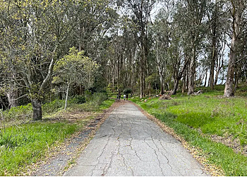
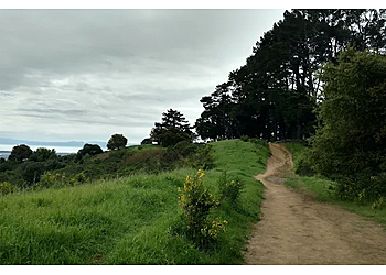
Stonewall-Panoramic Trail ensures breathtaking views with a pleasant environment. This 2.6 km trail near Berkeley, California, is generally considered challenging and takes 1 hour and 12 minutes to complete. This area is trendy for birding, hiking, and horseback riding, so you'll likely encounter other people while exploring. The trail begins at a bend in Stonewall Road. This trail is dog-friendly, and dogs are allowed off-leash under voice control. Stonewall-Panoramic Trail offers huge payoffs in terms of scenery. Reaching the top of this hike is considered a benchmark. Pause and take in the view here. The trail is a short but intense hiking challenge that allows dogs to hike off-leash. Visitors can see the Golden Gate Bridge on the clear days.

Reviews   |   Write a Review

Contact:

TBR® Inspection Report:

CALL EMAIL

TILDEN NATURE AREA

600 Canon Drive,
Berkeley, CA 94708 Directions

Since 1936

Hiking Trails Interpretive Programs Running Watch Wildlife Waterworks Boardwalk Scenic Views Wildlife Sightings Trees & Walking

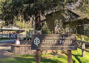
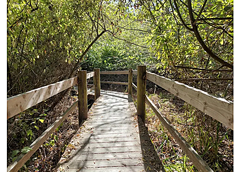
Tilden Nature Area has 39.41 miles of trails through many different terrains. The more extensive multi-use trails allow hikers, bicyclists, and horses. Some of the terrains are for hikers and horses only. Tilden Nature Area's smaller single-track trails are for hikers only. You can see the legend and trail designations on the trail map for specific details. Trail sections are marked with mileage, and topographical lines indicate terrain steepness. The lake is open for fishing year-round. The lake contains naturally occurring largemouth bass, bluegill, sunfish, and channel catfish, as it is not stocked.

Reviews | Play Video | Write a Review

Contact:

(510) 544-2233

Mon-Sun: 5am - 10pm

TBR® Inspection Report: