
Specialty:
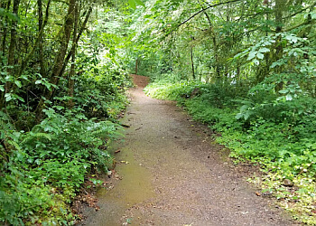
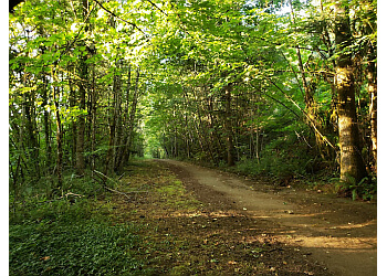
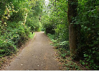
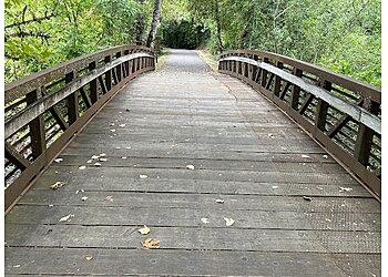
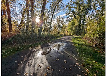
"Minto-Brown Island Park covers 1,200 acres of open, wooded, and lush terrain. This ensures an 11.7 km trail with an elevation gain of 38 meters, which is generally considered an easy route. This trail approximately takes 2 hours and 12 minutes to complete. There is a 30-acre off-leash dog area with lots of space for your dog to wander, play, and socialize with other dogs. The trail is also a wildlife and waterfowl sanctuary, where visitors can see from the observation platforms along the sloughs. Minto-Brown Island Park is also a haven for numerous wetland wildlife, including blue herons, ospreys, squirrels, and rabbits.
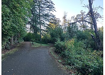
2026 Highlights: Minto-Brown Island Park offers running, biking, and walking along 29 miles of interconnected loop trails with access to Riverfront Park and Wallace Marine Park via the Peter Courtney Minto Island Bicycle and Pedestrian Bridge and the Union Street Railroad Bridge."