3 Best Hiking Trails in Santa Rosa, CA

Expert-recommended Top 3 Hiking Trails in Santa Rosa, California. All of our hiking trails actually face a rigorous 50-Point Inspection, which includes customer reviews, history, complaints, ratings, satisfaction, trust, cost and general excellence. You deserve only the best!

10+ YEARS IN TBR
CALL EMAIL

ANNADEL STATE PARK

6201 Channel Drive,
Santa Rosa, CA 95409 Directions

Since 1971

Specialty:

Trail Running Nature Trips Walking Dog-friendly Birding Wildlife Mountain and Road Biking Wheelchair and Kid-Friendly Horseback Riding Beach Fishing Lake Wildflowers Nature Trail Walking Trail

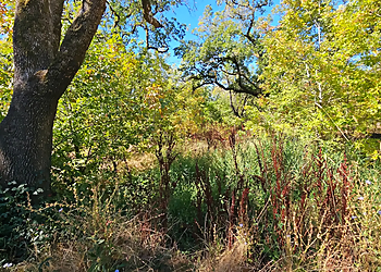
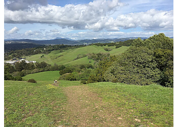
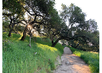
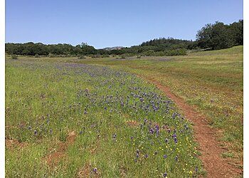
Annadel State Park features beautiful ecosystems with various natural forests, making it a great place to use your mountain bikes along the trails. The trail offers diverse terrain, including oak trees, majestic redwoods, and plenty of springtime wildflowers. The park is 60 miles north of San Francisco, on the eastern edge of Santa Rosa, and offers miles of trails for hiking, mountain biking, and trail riding. These trails take you through nature, where you can explore a diverse array of wildlife of all kinds. Annadel State Park is a perfect, naturally landscaped area to explore various ecosystems and trails.[2026UAnnadel State Park offers hiking trails, mountain biking, trail running, horseback riding, multi-use trails and fire roads, wildlife viewing, nature exploration, scenic recreation, day-use areas, and parking areas.

Reviews | Play Video | Write a Review

Price:

Vehicle Day-Use Fee
Regular Sized Autos Are $8

Contact:

(707) 539-3911

Mon-Fri: 8am - 8:30pm
Sat & Sun: Closed

TBR® Inspection Report:

CALL EMAIL

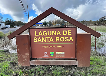
LAGUNA DE SANTA ROSA TRAIL

6303 CA-12,
Santa Rosa, CA 95409 Directions

Specialty:

Hiking Walking Horseback Riding Bicycling Bird Watching Wildlife Viewing Nature Viewing Scenic Views Wetland Exploration

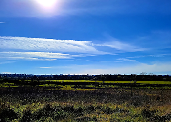
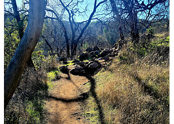
2026 Highlights: Laguna de Santa Rosa Trail is a scenic 1.8-mile multi-use trail located in Santa Rosa, California, offering visitors an opportunity to explore one of the largest freshwater wetland ecosystems on the northern California coast. Managed by Sonoma County Regional Parks, the trail follows the eastern edge of the Laguna de Santa Rosa between Highway 12 and Occidental Road, providing a mostly flat and accessible route for hikers, walkers, bicyclists, and horseback riders. Along the way, visitors can enjoy expansive grasslands, valley oak savannas, riparian woodlands, seasonal vernal pools, and the tranquil waters of Kelly Pond, which features an overlook ideal for bird watching and wildlife observation.

Reviews | Play Video | Write a Review

Contact:

  • parks@sonoma-county.org
(707) 433-1625

Mon-Sun: 7am - 5pm

TBR® Inspection Report:

CALL EMAIL

TAYLOR MOUNTAIN REGIONAL PARK

2080 Kawana Terrace,
Santa Rosa, CA 95404 Directions

Since 2013

Specialty:

Dog Friendly Restroom Amenities Bird Watching Walking Running Jogging and Wildlife Nature Trail Walking Trail

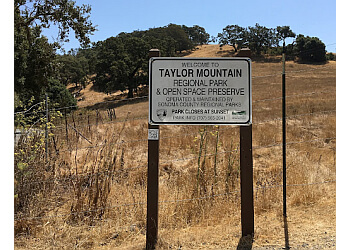
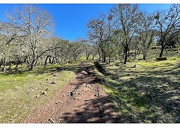
"Taylor Mountain Regional Park is a 1,100-acre preserve that features woods, grassy areas, creeks, hiking trails, and picnic tables. The park is a prominent landmark that offers panoramic views of the city from trails that climb to the summit. The park features approximately 7 miles of trails for hiking, biking, and horseback riding, an 18-hole disc golf course, and an accessible natural play area. The park's trails range from 518 to 1,305 feet in elevation gain. The Sky Lupine Trail offers the best route for those looking to make the 1,100-foot ascent from the Kawana Terrace entrance to near the top of Taylor Mountain, with sweeping views of Santa Rosa and beyond. Visitors can enjoy hand-curated trail maps, along with reviews and photos from nature lovers like you.

2026 Highlights: Taylor Mountain Regional Park offers picnic areas, biking, hiking and walking trails, equestrian trails, birding, and EV charging stations."

Reviews | Play Video | Write a Review

Price:

Parking Fee $8

Contact:

(707) 539-8092 (858) 204-0220

Mon-Sun: 7am - 7:30pm

TBR® Inspection Report: